Many places commonly associated with Kotor are not, historically or administratively, part of the town itself. This assumption is largely driven by visual proximity and modern navigation habits rather than by how settlements developed. Understanding this distinction is essential for interpreting place identity across the bay.
Kotor functioned for centuries as a fortified urban centre with clearly defined physical and legal boundaries. Life within the walls followed a different administrative, economic, and social logic from life outside them. Expansion beyond the walls did not produce suburbs in the modern sense, but rather a series of parallel settlements shaped by their own conditions.
Areas immediately adjacent to the town often developed independently. Coastal access, land ownership, and agricultural use influenced settlement formation more than distance from the urban core. Communities outside the walls were oriented toward the sea or surrounding land rather than toward the town centre itself.
Places such as Muo and Škaljari are frequently perceived as extensions of Kotor because of their location along approach routes. Historically, however, each followed a distinct development path, shaped by shoreline conditions, economic activity, and governance separate from the fortified town.
This separation affected everyday life in practical ways. Religious institutions, communal spaces, and local infrastructure often served specific settlements rather than the wider area. A church or quay located just beyond the walls was not necessarily connected to Kotor’s urban population, even if it lay within sight of the town.
Over time, modern growth and tourism blurred these distinctions. Mapping tools, signage, and accommodation listings tend to group nearby places under the name of the most recognisable centre. This has gradually weakened awareness of independent settlement identity and reinforced the idea that everything nearby belongs to Kotor.
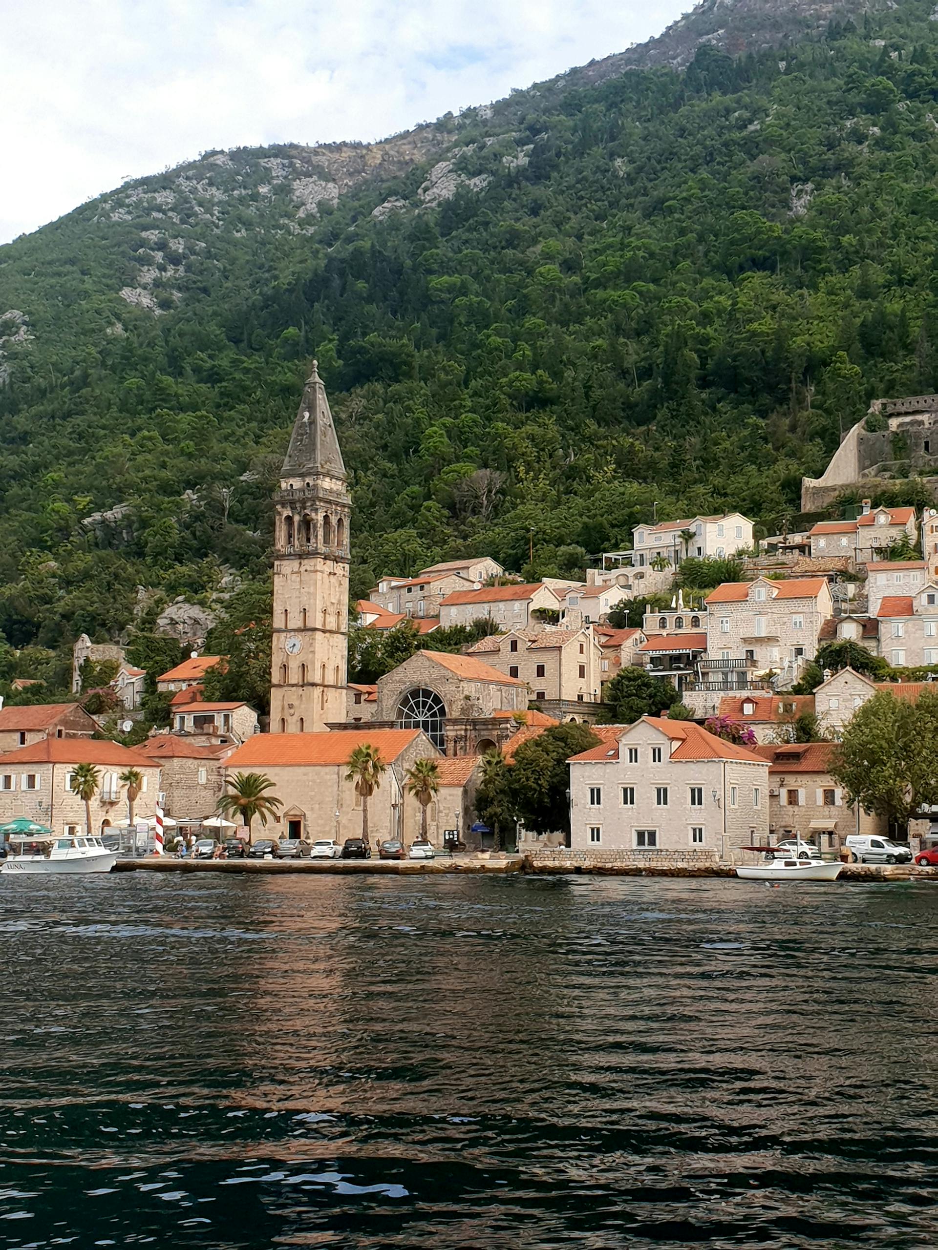
Historically, this was not the case. Each settlement maintained a degree of administrative autonomy, governing its own affairs and responding to local needs rather than urban directives. Recognising this autonomy is key to understanding why boundaries mattered and why they still carry meaning today.
The persistence of separate identities becomes clearer when settlement structure is taken into account. Coastal villages, hillside communities, and fortified towns were shaped by different priorities and constraints. This structural distinction is examined in more detail in Settlements of the Bay of Kotor: A Structural Overview, which explains why proximity rarely equates to similarity.
Misattributing places to Kotor has broader consequences than naming alone. It can distort historical narratives, flatten local differences, and obscure how communities interacted with one another. Accurate location assignment helps preserve relationships between settlements rather than collapsing them into a single centre-focused story.
Many sites affected by this confusion appear in broader historical groupings, including historical sites, where context is essential. A ruin, path, or religious structure gains meaning only when understood within the settlement it originally served.
Recognising that not everything nearby belongs to Kotor allows the region to be seen as a network of related but independent places. This perspective restores balance between the town and its surroundings, ensuring that smaller settlements retain visibility rather than being absorbed into a dominant name.
The Bay of Kotor is best understood not as a central town with peripheral extensions, but as a layered landscape of settlements that developed side by side. Preserving these distinctions is fundamental to documenting the region accurately and to maintaining clarity as the directory continues to grow.