Бока-Которская определяется необычайно сжатым соседством моря и гор. Крутые известняковые склоны спускаются прямо в узкие водные пути, оставляя ограниченное пространство для расселения и передвижения. Эта физическая среда сформировала не только то, где жили люди, но и то, как общины соотносились друг с другом, как развивался доступ и почему регион так и не образовал единого непрерывного городского пространства.
В отличие от открытых прибрежных равнин, залив предлагает очень мало пригодной для застройки земли. Ровные участки появляются лишь в небольших карманах, где это позволяют геологические условия, вынуждая поселения приспосабливаться к узким полосам между скалой и водой. В результате общины разрастались вдоль береговой линии, а не вглубь суши. Этот рисунок и сегодня заметен в вытянутой форме многих прибрежных деревень.
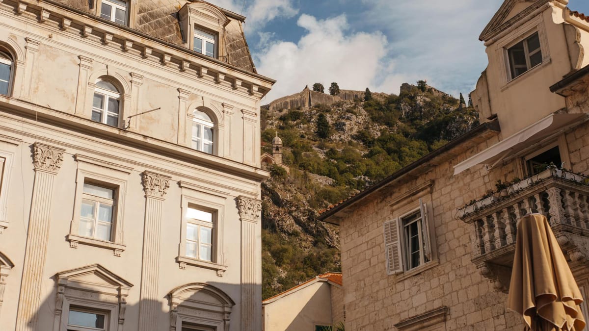
Горы, окружающие залив, — не далёкий фон, а непосредственная граница. Их крутизна ограничивала сухопутное передвижение и сельскохозяйственное расширение, усиливая зависимость от моря. Тропы через эти склоны существовали, но часто были сезонными, труднопроходимыми и непригодными для регулярного транспорта. Такая изоляция способствовала развитию замкнутых общин с сильной внутренней сплочённостью.
Замкнутая форма залива обеспечивает спокойные воды, защищённые от условий открытой Адриатики. Это укрытие делало ближнее морское сообщение надёжным и центральным для повседневной жизни. Лодки соединяли поселения эффективнее сухопутных маршрутов, формируя торговлю, общение и социальный обмен. На протяжении большей части истории региона морской доступ имел большее значение, чем дорожный.
Небольшие различия в условиях побережья приводили к разным результатам расселения. Чуть более глубокая гавань, более пологий склон или доступ к пресной воде могли определить, возникнет ли в этом месте укреплённый город, линейная деревня или никакого постоянного поселения вовсе. Со временем эти незначительные различия порождали самостоятельные идентичности даже у мест, разделённых лишь коротким отрезком воды.
Общины, расположенные друг напротив друга через залив, часто развивались независимо, а не как парные поселения. Различия в подверженности стихиям, стоянке судов и доступе к внутренним землям значили больше, чем визуальная близость.

Это помогает объяснить, почему такие поселения, как Perast и Prčanj, прошли разными историческими путями, несмотря на близость. География поощряла разделение не меньше, чем связь.
Оборонительные соображения ещё сильнее закрепляли эту раздробленность. Там, где естественные преграды могли быть дополнены стенами или скалами, возникали укреплённые городские центры. Там, где таких условий не было, поселения полагались на открытость и морскую видимость. Ландшафт диктовал не только форму, но и стратегию, влияя на то, как общины защищали себя и контролировали доступ.
Геологический характер залива также играл долгосрочную роль. Карстовый ландшафт региона определяется пористым известняком, быстрым стоком воды и ограниченными поверхностными источниками. Управление пресной водой стало критически важным вопросом, формируя, где поселения могли существовать и как развивалась инфраструктура. Реки и сезонные потоки прорезали глубокие русла, порой образуя естественные границы между обитаемыми районами.
Эти же геологические силы продолжают влиять на современное развитие. Дороги по-прежнему следуют береговой линии, поскольку прокладка через горы остаётся нецелесообразной. Поселения остаются узкими, поскольку расширение вглубь суши ограничено. Инфраструктура приспосабливается к рельефу, а не преобразует его, сохраняя исторические закономерности даже при смене назначения.
Эта география также влияет на восприятие расстояний. Места, кажущиеся близкими на карте, могут ощущаться далёкими из-за непрямых маршрутов и природных препятствий. Соотношение визуальной близости и фактического доступа подробнее рассматривается в материале Понимание расстояний в Бока-Которской бухте, который напрямую опирается на описанные здесь физические ограничения.
Природные и рукотворные объекты, сформированные этими условиями, представлены в каталоге в разделе природных и культурных достопримечательностей. Их значимость невозможно отделить от породившего их ландшафта. Без понимания физической структуры залива отдельные места рискуют быть истолкованы изолированно, а не как части связанного ландшафта.
Бока-Которская не породила единого центра, окружённого пригородами. Вместо этого она взрастила сеть поселений, сформированных микроусловиями, зависимостью от моря и ограниченным доступом. География объясняет, почему эти места тесно сосуществуют, оставаясь при этом самобытными, и почему регион следует воспринимать как совокупность связанных, но независимых сред, а не как единое городское целое.